
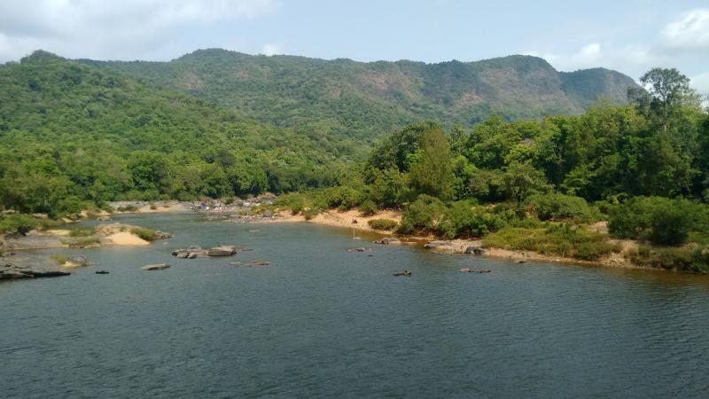
The quaint hill town of Shimla, which once woke up to the charm of snowing winters and bustling tourists, is today facing one of the worst water crisis in history. The droughts of Marathwada during 2015-2016 crippled the farmers in the region. Today, instances like these that highlight the importance of water, the source of life, is increasing across the world. Hence, it becomes vital to understand how water levels in our rivers, lakes, streams and aquifers change over time and the reasons behind it. In a new study, researchers from the Indian Institute of Science, Bengaluru, have done precisely that! They have studied how water levels have changed in peninsular India for 13 years.
An estimate of the available surface and groundwater tells us how much water we have for our use. But, collecting this data on a large scale for water management studies is tedious and challenging due to lack of equipment. Hence researchers turn to satellite-based remote sensing data that provides the required information with reliable accuracy. One such mission to provide satellite data is the Gravity Recovery and Climate Experiment (GRACE). It is a twin satellite system much like a weighing balance in space that maps the variation in the earth’s gravity field and provides information about changes in the distribution of water on earth.
Previous studies have used data from GRACE to study terrestrial water levels, including one that showed depleting groundwater levels in northern India, attributed to overexploitation. In this study, researchers have used GRACE data to study river basins south of the Vindhyas till the Krishna that have a large surface area covered in water.
“Surface water storage is indirectly assessed using the extent of surface area covered by water and the soil moisture content of that area. We do not have enough measuring stations in the field to obtain soil moisture data, and also lack the complete picture of how much surface area is covered by streams, dams, ponds and lakes in its basin region”, says Prof. Nagesh Kumar, a professor at IISc and an author of the study, in an interview with Research Matters.
The researchers of this study studied surface water storage of peninsular river basins from 2002 to 2014, for 13 years. They used satellite data to obtain soil moisture and to calculate surface area covered by water. They obtained rainfall data from rain gauges maintained or managed by the Indian Meteorological Department in the study regions. The results of the study are published in the Journal of Hydrology.
The researchers studied regions around the rivers based on their water storage capacity trends, instead of looking at the rivers in peninsular India individually.
“This region-based approach takes into consideration that for large river basins, the pattern of increase or decrease in water storage may vary widely within a basin. It also allows for the possibility that it may be similar to areas in other river basins”, says Prof. Nagesh Kumar.
Using GRACE data, the researchers divided peninsular India, drained by the rivers Narmada, Tapti, Mahi, Godavari and Krishna, into four regions - three spanning across the Krishna and Godavari basins and one covering the west flowing rivers. While the study found an increasing trend in ground and surface water storage, it was not uniform across the regions or even across a river basin. In the Godavari river basin, the terrestrial water storage showed a more significant increase in the southeastern region than the western part, while for Krishna, there was no discernible increase in the western region and only the eastern downstream region of the river showed a rise over the study period. “It is interesting to note that the terrestrial water storage trends are not similar over the two river basins”, remarks Prof. Nagesh Kumar, on the findings. The study showed similar increasing trends in both ground and surface water storage in the other region covering the river basins of Narmada, Tapti and Mahi.
“Across all the four regions, the surface water, which forms a large component of water used in these areas, saw a positive trend indicating a gain in surface water storage”, say the researchers.
They found that the water storage in these regions had collectively increased by about 74 cubic km—volumes more significant than the Tehri Dam (~ 3.5 cubic km), the largest dam in India.
What caused the increase in surface water? To answer this, the researchers explored the possibility of different scenarios like an increase in rainfall, decrease in evaporation and reduction in the river water due to the construction of new dams, and arrived at rainfall as the most apt one. The study examined the causal effect of rainfall and concluded that an increase in precipitation during the study period is one of the major causes for the increasing trend in both surface and groundwater storage.
The researchers also point out that these results must be seen in the light of the severe drought of 2002, which significantly depleted groundwater levels in peninsular India. Since GRACE data is unavailable before 2002, there are no estimates to understand this depletion. “The increasing trend seen in the ground and surface water levels in this region since 2002 may well be due to recovery from that extreme drought condition”, remarks Mr. Chandan, a PhD scholar at IISc and an author of the study.
The study points to the vulnerability of the region’s water dependence on rainfall and highlights the need for efficiently managing it through sustainable use and sensible distribution.