
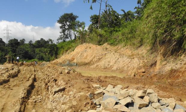
Photo : Vidisha Kulkarni / Research Matters
In a first of its kind effort, researchers from all over the world have quantified soil erosion due to rainfall collecting data from 63 countries to prepare a ‘rainfall erosivity’ map of the world.
Essential for assessing the magnitude of soil erosion by water, calculating the risk of floods and preventing natural disasters researchers of the study used rainfall data from 3,625 precipitation stations and created the Global Rainfall Erosivity Database (GloREDa), a database of erosivity factor for each station based on rainfall duration, magnitude and intensity. Quantifying the damage caused by rainfall on the soil helps in understanding the magnitude of the damage and mitigating it.
The map indicates that the highest erosivity values are located in Southeast Asia, Central Africa, South America, Central America and the Caribbean islands. The lowest erosivity was found in Siberia, West Asia, Northern Africa, Canada and Northern Europe. The researchers observed that spatial pattern of erosivity values correspond to the extreme rainfall events observed in those areas.
India is a major producer of a wide range of agricultural products; it is the second largest supplier of wheat and rice in the world. While a major credit for this distinction goes to suitable climatic conditions and good monsoon rains, the role of fertile soil that India has in abundance is important too. Because of soil erosion, however, the agriculture sector is facing a threat in the coming years.
“When the water of the flooded Brahmaputra flows downstream in Bengal, it disrupts the fishing reservoirs of the region. The local fishermen, thus, lose their means of livelihood”, says Dr. Nabansu Chattopadhyay of the Indian Meteorological Department, Pune and a co-author of the study.
The study, published in Nature’s Scientific Reports, is a joint effort of 31 scientists from over 20 countries all over the world.
Erosivity is the tendency of rainfall to cause soil erosion. It is the combined effect of the duration of rainfall, its magnitude and intensity.
Displacement of soil from its original place is called erosion. Rainfall, rapidly flowing water as in the case of streams and rivers, wind or even mass movement of land, like landslides or avalanches can cause erosion. Rainfall alone causes more than 50% of soil erosion world over. Erosion takes away the nutrient rich topsoil from the erosion site, and in the long run, leads to desertification.
Due to erosion, soil gets deposited as sediments in water bodies like lakes and rivers, choking them and leading to eutrophication -- excessive richness of nutrients. This excess of nutrition in the water causes unabated growth of vegetation and algae, resulting in reduced dissolved oxygen in the water body. Erosion causes a lot of ecological damage too, and impact economies dependent on local resources.
“For example, if a place gets 100cm rainfall in 24 hours, but it is quite uniformly divided, such rain may not cause soil erosion. However, suppose there is 10cm rainfall in mere 1 hour, soil may get washed away”, points out Dr. Chattopadyay. To determine erosivity, it is also essential to take into account the previous erosivity events over a long period of time. Erosion is more likely when soil is already saturated with water and heavy down pour occurs. Water can no more be absorbed in the soil, and soil then flows downstream with water. Rainfall measurement at short duration, once every 30 min, is needed for erosivity evaluation.
One way to conserve what is left of the soil is to increase the time of concentration of runoff, or reduce the velocity of runoff, thus allowing for more water to sink into the soil. Building terraces and bunds makes this possible. On a larger scale, dams and retention reservoirs could also be planned. Biological measures include planting vegetative strips, protective bushland and afforestation. Certain agronomic methods like contour ploughing and mixed cropping could also help.
Soil conservation efforts in India can also benefit from the erosivity map, the researchers believe. “The Ministry of Agriculture in India undertakes multiple soil and water conservation projects. With a view to better monitor rainfall, installation of automatic rainfall measurement gauges is planned” shares Dr. Chattopadhyay. With more such systematic measure, perhaps soil erosion could be reduced to a large extent.


