 Nidhi Jamwal, Argha Manna, Dr. Saurjya DasGupta, and Dr. Shalini Sharma")
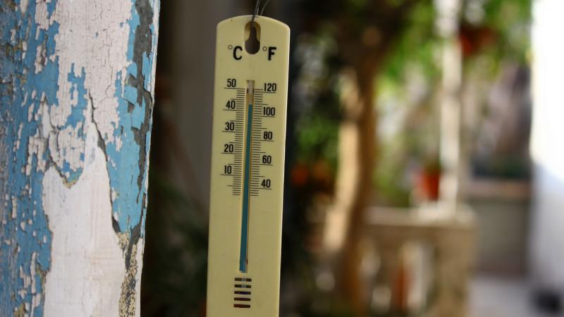
Ever since the advent of the Anthropocene era, the most recent geologic period, climate change and global warming are two severe catastrophes facing humanity. A distinct and immediate effect of global warming is the increase in temperature—both on land and in the oceans. According to the NASA Earth Observatory, global temperatures have increased by 0.85° C since 1880. The IPCC’s (Intergovernmental Panel on Climate Change) 5th assessment reports that the last three decades in India were successively warmer. The changes in the climate patterns often lead to extreme temperatures and precipitation, drought, and other calamities. So, what implications does this have on an agricultural country like India?
In a recent study published in the journal Scientific Reports, researchers from the Florida State University, the Indian Institute of Technology Bhubaneswar, and the India Meteorological Department investigated the trends in temperature change in India by assessing the decadal temperature changes—changes in the average temperature levels every ten years—over a 70-year span. The study also points to the role played by different geographical features in the climate patterns.
The study finds that the geography of a region plays a role in the potential impacts and the region’s vulnerability to climate change. “Geography has a significant effect on climate and its changes with time. The overall climate patterns are determined by global circulation patterns and changes in global and regional atmospheric composition”, says Prof. Robert Ross from Florida State University, who is also an author of the study. “These global patterns, however, are modulated by geographical features such as mountains, oceans, and characteristics of the land surfaces, such as whether the land surface is free of vegetation, or has lush vegetation”, he adds.
The researchers collected temperature data during 1951-2013 from 395 weather stations across India, and calculated the daily maximum, minimum and mean temperatures. The dataset was into three seasons—summer or the pre-monsoon period from April 1-May 31, monsoon from July 1- September 30, and winter or the post-monsoon period from Jan 1- March 31. Mean temperature levels were calculated for the same.
The study used a Community Climate Model (CCM) to forecast the trends in temperature variations. “A Community Climate Model is a numerical model that attempts to simulate temperature and precipitation patterns over a given region for periods longer than is typical for a daily weather forecast. Such a model is called a community model when it is developed and maintained at a research centre, freeing the various users from having to develop the model at their research site”, details Prof Ross.
It was found that the mean daily maximum temperature, over decades, had extreme values of 40°C-42°C, in most parts of India. A notable increase in warming was observed in the north-west region and southern India from 1970 with a striking rise in 2000 and 2010. On the other hand, there was a cooling observed in the north-east extending into the south-west region over central India. In addition to these, a rapid rise in the surface temperature of India was noted partially since 1980.
The researchers were intrigued by one question—what caused the patterns of warming accompanied by consistent patterns of cooling in the 60-year span? Previous studies have attributed this cooling to emissions that create a layer of brownish haze in the atmosphere predominant over the North Indian Ocean and South Asia. In the current study, it was observed that the haze region extends from northeastern India southwestward across central India. In this region, the incoming solar radiation is absorbed around 3 km above the ground, producing warming at that level. Due to the absorption at that level, the radiation reaching the ground beneath the haze is reduced resulting in cooling at earth’s surface. Consequently, the haze region lying across central India experiences cooling at the surface. At 3 km the heated air rises and then sinks over northwestern and southern India leading to the surface warming observed in those two regions.
As a next step, the researchers plan to include rainfall and cloudiness patterns to see what effects these variables may have on the decadal temperature changes that the study has revealed. “Climate models are getting better, but they are still far from perfect. With continuing research, it is hoped that the models will become reliable enough for users, such as farmers, to use the models' output to plan future activities”, says Prof Ross. Since the El-Nino and La-Nina cycles also have a major effect on Indian climate, it is necessary to consider these factors too.
The Economic Survey of India 2018 unveils that climate change is taking a toll on agriculture, particularly un-irrigated and rainfed lands. During the year 2020-2039, the crop yield is expected to go down by 4.5-9%. The startling findings of this study emphasize a serious need to address the effects of climate change and rethink about our irrigation and agricultural systems.
 Nidhi Jamwal, Argha Manna, Dr. Saurjya DasGupta, and Dr. Shalini Sharma")


